Aerial photography now available as an add-on to Home Surveys!
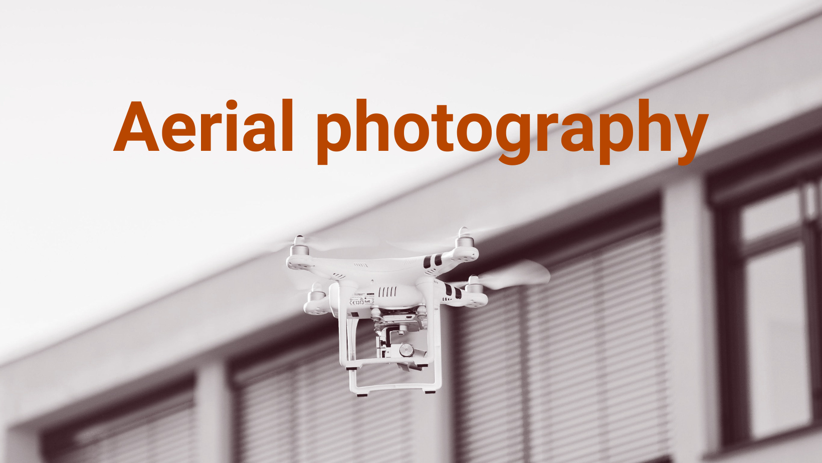
I’m delighted to announce the launch of a brand-new service here at RM Surveyors. From August, I’ll be offering clients aerial photography as an add-on to my existing RICS Home Surveys in and around south London.

What’s it all about?
When purchasing a property, it can be difficult to get a full and complete picture of its upper levels and roof without employing the services of a specialist contractor. But this can be expensive – especially if you have to factor in scaffolding, which can come in at around £2,000 for the average London property.
Yet purchasing a home is one of the biggest financial decisions most of us will ever make, so it’s important to get things checked out to avoid unwanted surprises further down the line.
Aerial photography is an affordable and effective way to gain an overhead perspective of a property pre-purchase, enabling me, as your surveyor, to check for the following types of issues which may be costly to attend to:
Leaks
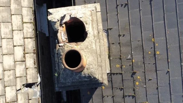
Cracked chimneys
Drainage issues
Tiling repairs
Weather and storm damage
General state of solar panels
Warranty requirements
What are the benefits?
Aerial photography allows me to view and report on areas I wouldn't usually be able to access, enabling me to provide a more in-depth survey report. I will also be better able to understand any work required and advise you on the costs involved, as well as how to effectively manage the maintenance of the building.
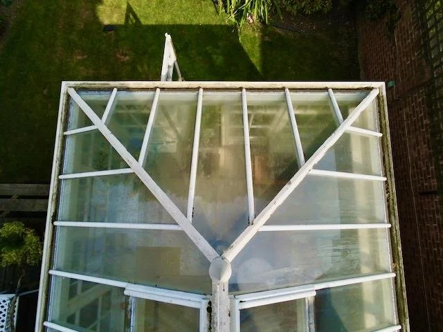
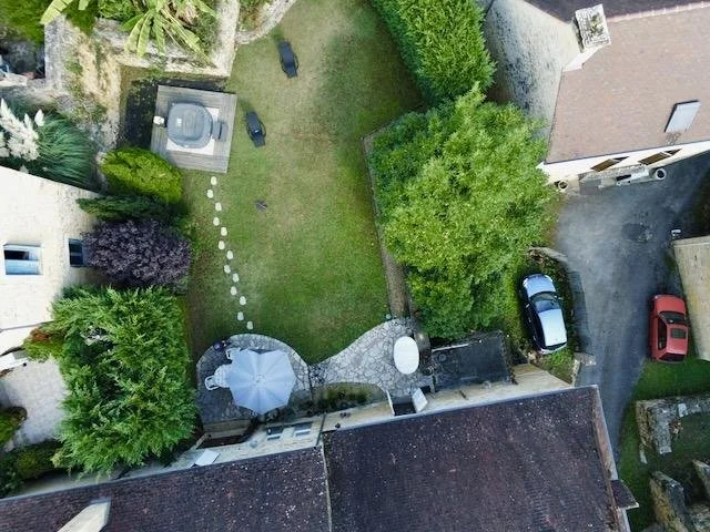
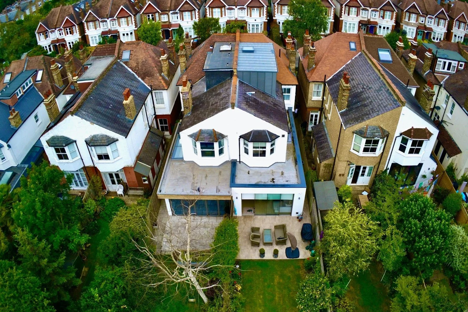
Aerial photography can also provide a useful overview of the building in its wider context, enabling you to understand how things fit together – which can be particularly helpful in assessing large, older properties which may have numerous roof slopes, some of which are hidden from the ground, or those that have undergone extensions.

Is it safe? Is it legal?
In order to offer this exciting new service, I’ll be working with a qualified pilot and every aerial photography flight will be subject to the Civil Aviation Authority's drone regulations. Compliance with this law means we always have clear and strict terms and conditions in place, and the safety of the public and our clients remains our top priority.
Before any photography takes place, the pilot will conduct a pre-flight site survey and risk assessment to create a detailed flight plan. During the flight itself, cameras are limited to a maximum of 400ft, all operations stay within the pilot’s line of sight, and we never fly closer than 30m to uninvolved people. And as you’d expect, we’ve also got full public liability and private indemnity cover to provide you with full peace of mind.
All flights are subject to suitable weather conditions and flight path availability.
How much does it cost?
Aerial photography quotes are available upon request, starting from £200. All flights are also subject to local aviation costs.
Here are just some of the types of images I’m now able to offer: